

In the tapestry of early medieval English history, few documents are as intriguing and enigmatic as the Tribal Hidage. This ancient list, compiled sometime between the 7th and 9th centuries, offers a unique glimpse into the political landscape of Anglo-Saxon England. Comprising thirty-five tribes or territories, the Tribal Hidage has captivated historians for centuries, sparking debates about its origins, purpose, and significance.
The Nature of the Document
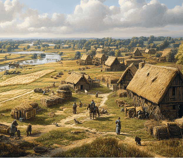
The Tribal Hidage is essentially a list of tribes or kingdoms, each assigned a specific number of “hides.” A hide was an Anglo-Saxon unit of land measurement, roughly equivalent to the amount of land needed to support a household. While later standardized to about 120 acres, the exact size of a hide likely varied depending on the fertility of the land and local customs.
Content and Structure
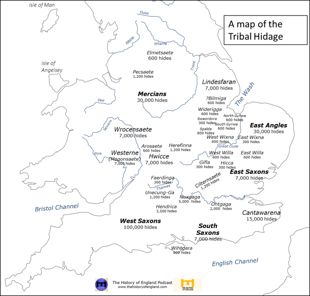
The Tribal Hidage provides a fascinating snapshot of the political divisions in southern Anglo-Saxon England, and provides an estimation of the relative wealth and power of each.
Mercia 30,000
East Angles 30,000
Kent 15,000
East Saxons 7,000
South Saxons 7,000
Wroxete 7,000
Hereford 7,000
Lincoln 7,000
Hwicce 7,000
Chiltern Saxons 4,000
N. Oxfordshire/Bucks 3,500
Buckinghamshire 2,000
Peak Saxons 1,200
Hurstingbourne 1,200
Wokingham 5,000
Surrey 2,000
Wisbech 900
Wiggenhall (Norfolk) 900
Elmetians 600
Gyrwe (Peterborough) 600
Spalding 600
River Arrow (Warwickshire) 600
Northamptonshire/Rutland 600
Wittering (Northamptonshire) 600
Willeybrook (Northamptonshire) 600
Fenlands 600
Wessex* 100,000
The remaining six tribes were 300 hides.
* likely a later addition to the list
Interestingly, the list also includes many smaller, lesser-known tribes or territories, some of which are not mentioned in any other historical sources. This makes the Tribal Hidage an invaluable resource for understanding the complexity of early Anglo-Saxon political geography.
To truly appreciate the significance of the Tribal Hidage, we must consider the historical context in which it was created. The 7th to 9th centuries in England were characterized by the gradual consolidation of power among larger kingdoms, as smaller tribal groups were absorbed or conquered.
The document likely reflects a transitional period in this process. It captures a moment when many small, independent polities still existed, but were increasingly coming under the influence of larger kingdoms like Mercia and Wessex.
DAN – need our own version of this map as all copyrighted
Origins and Purpose
The exact origins and purpose of the Tribal Hidage remain subjects of scholarly debate. Many historians believe it originated in Mercia, which dominated southern Anglo-Saxon England until the early 9th century. However, others argue for a Northumbrian origin.
As for its purpose, several theories have been proposed:
- Tribute List: The most common interpretation is that the Tribal Hidage was a tribute list, used by a powerful overlord to assess and collect payments from subject territories.
- Administrative Document: Some scholars suggest it may have been an early form of administrative record-keeping, possibly used for organizing the collection of resources or manpower. In the same manner that William the conqueror would commission the Doomsday Book two centuries later.
- Symbolic Record: Others propose that the hide numbers may have been symbolic, reflecting the relative status or prestige of each territory rather than actual land measurements.
The use of hides as a unit of measurement implies a degree of economic sophistication and standardization across different regions. It suggests that Anglo-Saxon rulers had developed systems for assessing and potentially taxing their territories.
In its rows of names and numbers, the Tribal Hidage preserves a moment in time – a snapshot of a world in transition. It stands as a reminder of the rich, complex, and often overlooked history that lies beneath the surface of the familiar story of Anglo-Saxon England.